Mount Batur Summit, Crater & Lava Field: Every Stop and What You Will See
The short answer. A Mount Batur morning has five named places in it: the 1,717-metre summit marker, the crater rim path, the steam vents that cook breakfast, the 1963 black lava field and the jeep viewpoint at about 1,360 metres. Which of them you see depends entirely on whether you walk or ride.
The 1,717-metre summit and its marker
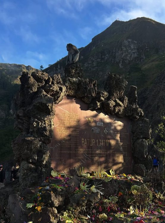
The high point of the walk carries a painted plate reading BATUR 1717 M set into a small shrine in black sand. It is where every group stops, and it is the photograph people came for. Long-tailed macaques work the area at breakfast time and have no fear of you whatsoever, so keep food in a bag until you want their company.
Getting there means the walk. No road on this mountain reaches the marker, and no listing claims one does.
The crater rim path
Beyond the summit the trail runs along the rim of the active crater, with the inner cone dropping away on one side and the whole caldera on the other. Guides take groups along it after breakfast, once the light is up and the footing is visible. It is the part of the morning most travellers did not know was included.
One departure builds its whole description around it and offers the summit itself as an option rather than a promise, which tells you how much of the interest sits on the rim rather than the top.
The steam vents, and breakfast without a stove
Fumaroles leak warm volcanic gas through the rock near the summit, and the guides use them. Eggs go into the vents and come out cooked, served with a banana sandwich, fruit, biscuits and a hot chocolate. Three separate listings describe breakfast this way, and it is the detail that comes back in review after review.
The 1963 black lava field
Lower on the flank lies the flow left by the eruption of 1963: coarse black rock and sand, still bare six decades later. This is the jeep tours’ second stop and, on most listings, they schedule an hour there once the sun is up.
It is the one part of the volcano you can only reach with a vehicle. Nothing else crosses that ground, which is the actual reason a jeep industry exists on this mountain.
The jeep viewpoint, at about 1,360 metres
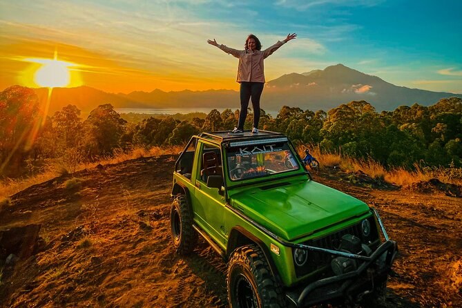
The 4WD routes stop at a viewpoint on the flank. One operator states its height as roughly 1,360 metres; another notes plainly that the road cannot reach 1,717. What it gives you is the same eastern horizon at the same hour, a hot drink, and a roof to sit on.
| What you see | On a trek | On a jeep tour |
|---|---|---|
| The 1,717 m summit marker | Yes | No |
| The crater rim path | Yes | No |
| Steam vents and eggs cooked in them | Yes | No |
| The 1963 black lava field | On some grades | Yes, about an hour |
| The flank viewpoint at about 1,360 m | You pass above it | Yes |
| Lake Batur below at first light | Yes | Yes |
| Agung and Abang on the horizon | Yes | Yes |
The five named places, and which format reaches each.
Lake Batur, below and to the east
The lake fills the low side of the older caldera, roughly seven kilometres long and a kilometre and a half across, and it is the largest body of fresh water in Bali. Before dawn you see it as scattered pinpricks: village lights on the shore and the lamps of fishing boats working the middle. As the sky lightens it turns from black to grey to a hard silver.
Agung and Abang across the caldera
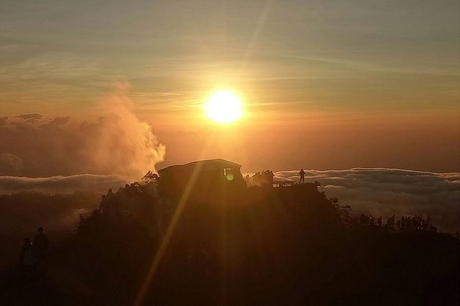
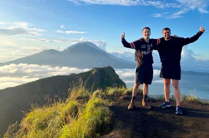
The two mountains on the horizon are the ones that make the photograph. Abang, at 2,152 metres, is the high point of the caldera rim itself; Agung, at 3,031 metres, is Bali’s highest and most sacred mountain, standing behind it. On a clear morning the sun comes up between them.
You are standing inside a caldera inside a caldera. The outer ring measures about 10 by 13 kilometres, the inner one 7.5 across, and both formed less than 30,000 years ago. That structure is why the landscape is a UNESCO Global Geopark and the mountain alone is not.
Where each of these sits, and how you reach it
The five named places are not spread across the mountain evenly. The summit marker, the crater path and the steam vents are all within a few hundred metres of each other at the top, which is why a trek reaches all three or none. The lava field and the jeep viewpoint sit lower on the western flank, on the road, and are reached from a different base camp entirely.
That geography is the reason the two formats leave from different yards. The trekking groups gather above Songan; the jeeps assemble on Jalan Pendakian Gunung Batur on the other side — the starting points page has the addresses and the meeting times for both. If you want the lava field and the summit on the same morning, one operator sells a combination grade that does exactly that.
Afterwards, everything is downhill in both senses. Six departures finish at the hot springs on the lake shore, and two stop at a coffee plantation on the drive home. What the fare covers on each is set out on the visiting page, which is also where the Kintamani gate charge is explained for anyone driving up under their own steam.
What the guides point out that you would walk past
Two hours in the dark is a long time, and the difference between a good guide and a silent one is what gets named along the way. The obvious things — the marker, the crater, the vents — announce themselves. The rest does not.
Ask about the ground you are standing on. The trail crosses material from more than one eruption, the black sand underfoot is younger than the rock beside it, and the villages whose lights you can see below were rebuilt after the flow of 1926. The facts page carries the dates and the sources; what travellers say is full of guides who were asked and answered properly.
What you will not see, and why
- Lava. Batur is active but not erupting; the last eruption on the record was in 2000. What you walk on is old flow.
- The inner crater floor. The path runs around the rim, not down into it.
- Pura Ulun Danu Batur from the trail. The temple moved to the caldera rim at Kintamani after the 1926 flow buried the old village, and it is a separate stop on the road.
- The summit, from a jeep. Worth repeating, because it is the single most common misunderstanding about this mountain.
Which of these you get is decided at checkout, not on the mountain. Compare what each departure reaches on mt batur sunrise hike tour, and see how the morning runs on the experience page.
Every format, side by side, on Mount Batur Tours.
Tours that fit this trip
Every stop above sits on at least one departure below.