12 Facts About Mount Batur That Will Surprise You
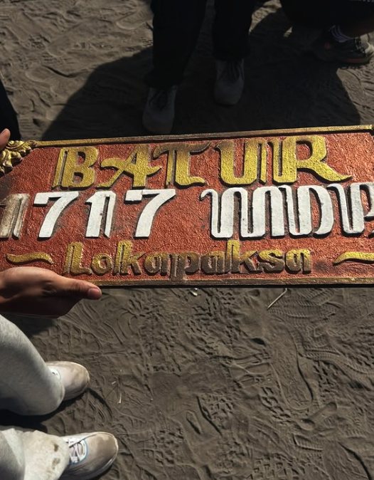
The short answer. Mount Batur is a 1,717-metre active volcano standing inside two nested calderas, beside the largest lake in Bali. It has erupted at least 22 times since 1804, buried a village in 1926, and its landscape became the first UNESCO Global Geopark in Indonesia. Here are twelve things about it that surprise people.
1. It is a volcano inside a volcano
The cone you climb sits inside a caldera measuring about 7.5 kilometres across, and that caldera sits inside a larger one of roughly 10 by 13 kilometres. Both collapses happened less than 30,000 years ago. The bowl you drive into from Penelokan is the older one.
2. A village was buried in 1926, and moved uphill
Lava from the 1926 eruption destroyed the village of Batur on the caldera floor, along with its temple. Rather than rebuild in the same place, the community moved to the highest part of the rim and rebuilt there. That is why Pura Ulun Danu Batur, one of the island’s most important water temples, now stands above the caldera instead of beside the lake.
3. Your breakfast is cooked by the mountain
Steam vents near the summit leak warm volcanic gas through the rock, and guides bury eggs in them. Three separate operators describe breakfast this way. It is a small piece of theatre and it is also completely practical: nothing else up there produces heat.
4. It has erupted at least 22 times since 1804
UNESCO counts at least 22 eruptions between 1804 and 2000. That is roughly one every nine years across two centuries, on a mountain several hundred people climb before breakfast every morning.
| Year | What it left behind |
|---|---|
| 1804 | The first eruption on the modern record |
| 1926 | The flow that buried Batur village and moved its temple to the rim |
| 1963 | The black lava field the jeep tours drive across |
| 2000 | The most recent eruption recorded |
The eruptions that shaped what visitors see.
5. It was Indonesia’s first UNESCO geopark
Batur Caldera joined the Global Geoparks Network on 20 September 2012, the first site in Indonesia to do so. The decision was announced at a conference in Arouca, Portugal, and the certificate was handed over by UNESCO’s chief geopark evaluator. The designated area covers 36,640 hectares.
6. Nearly 95,000 people live inside the geopark
Fifteen villages sit within the designated area, with a combined population of 94,850. This is not a wilderness reserve. It is a working agricultural landscape that happens to be built on an active volcano, and the oranges and coffee it produces are known across Bali.
7. The lake is the biggest in Bali
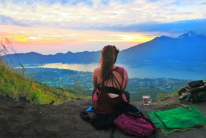
Lake Batur runs about seven kilometres long and a kilometre and a half wide along the low side of the outer caldera. It is the island’s largest body of fresh water, and the lights you see on it before dawn are fishing boats.
8. The jeeps cannot reach the top
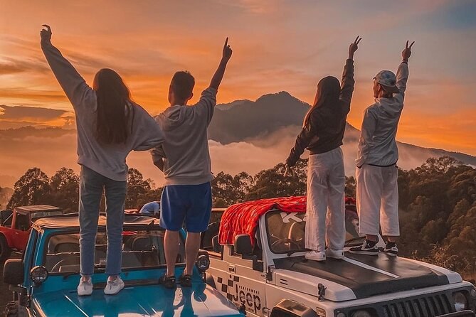
They climb to a viewpoint on the flank at about 1,360 metres. One operator states the height; another says plainly that there is no road access to the 1,717-metre summit. Every photograph you have seen of a jeep with the sunrise behind it was taken more than 350 metres below the peak.
9. Sunset is an option, and almost nobody takes it
One departure climbs in the afternoon and comes down by flashlight. About fifteen people stand at the top for a sunset, against a hundred or more at dawn. The trade is cloud: it builds through the day, so the odds of a clear view are worse.
10. Two operators ask you not to climb during menstruation
It appears in the fine print of two listings and it is not a health rule. Batur is treated as a sacred mountain, and the request follows a Balinese custom about who enters sacred ground. Whether you observe it is your decision; knowing it exists stops it arriving as a surprise at the base camp.
11. The monkeys expect you
Long-tailed macaques work the summit at breakfast time and have entirely lost their fear of walkers. Guides on several departures hand out bananas for them. Keep anything edible inside a closed bag until you have decided you want the company.
12. It is at Level I, and that means something specific
Indonesia’s volcanological survey publishes a live alert level for every monitored volcano on a four-step scale. Batur sits at Level I, Normal — readings fluctuate, with no significant increase in activity. It is the lowest step, and it is a measurement rather than a reassurance, which is why it is worth checking again close to your date.
The guides tell most of these on the way up. Two hours of walking in the dark is a long time, and the good ones fill it with the mountain rather than small talk — the facts page has the sources behind every figure here.
The caldera you drive into before you climb out of it
Almost everybody arrives in the dark and leaves before lunch, which means most visitors never actually see the landscape they spent the morning inside. The road from Ubud climbs onto the rim at Penelokan, and the view from there — the whole bowl, the cone in the middle, the lake along the far side — is the one that explains the geology in a single glance.
It is also the one part of the volcano open to anybody. There is no gate on the viewpoints, only the Kintamani area charge collected on that road between eight and five, and getting there sets out the amounts and the drive times. A geopark museum sits on the same stretch, and the hot springs are on the shore below.
If you are climbing, the light on the way home is the moment to look. The descent puts you back at the base by about half past eight, and the drive out crosses the rim in full daylight — the experience page walks through the morning in order, and the summit and crater guide names what you pass on the way.
If any of this makes you want to stand on it, compare the departures on Mount Batur Tours — and read what the morning is like on the experience page first.
Every way up, in one place, on Mount Batur Tours.
Tours that fit this trip
The guides tell most of these on the way up, in better detail.